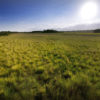
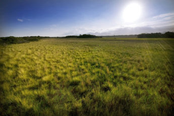
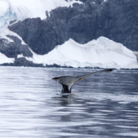
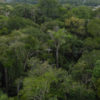
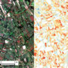
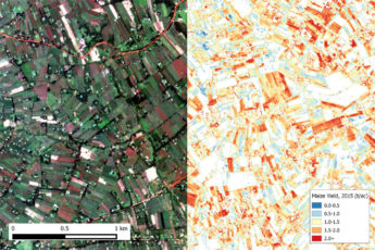
A view from above: Stanford researchers are using satellite data to study Earth
California is embarking on an effort to launch its own satellites to study pollutants – an approach many Stanford researchers have taken advantage of to better understand our changing planet.
California Gov. Jerry Brown closed out his landmark Global Climate Action Summit in San Francisco on Sept. 14 with a declaration that in order to monitor pollutants that cause climate change, California will go into orbit.
“With science still under attack and the climate threat growing, we’re launching our own damn satellite,” Brown said in prepared remarks. “This groundbreaking initiative will help governments, businesses and landowners pinpoint – and stop – destructive emissions with unprecedented precision, on a scale that’s never been done before.”
Brown’s statement echoes an understanding among scientists – including many at Stanford – that remote sensing data can and has revolutionized knowledge of Earth.